Датотека:Armenia adm location map.svg

Originalna datoteka (SVG datoteka, nominalno 1.169 × 1.198 piksela, veličina: 146 kB)
| Ovo je datoteka sa Vikimedijine ostave. Informacije sa njene stranice sa opisom prikazane su ispod. Vikimedijina ostava je skladište slobodno licenciralnih multimedijalnih datoteka. I Vi možete da pomognete. |
Opis izmene
| Opis |
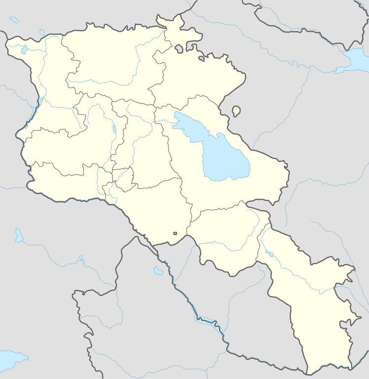
Deutsch: Positionskarte von Armenien
English: Location map of Armenia
|
||||||||||||
| Datum | |||||||||||||
| Izvor |
Own work using:
|
||||||||||||
| Autor | NordNordWest | ||||||||||||

|
This map has been made or improved in the German Kartenwerkstatt (Map Lab). You can propose maps to improve as well.
|
Licenciranje
Usage of this file with:

explanatory notes: Legally binding is only the full legalcode. For a free usage I recommend to respect the following licence conditions:
1. Provide my name as given above: NordNordWest,
2. a copy of, or the URI for, the applicable license: https://creativecommons.org/licenses/by-sa/3.0/de/legalcode,
3. the title of the work,
4. in the case of an adaptation, a credit identifying the use of the work in the adaptation.
This license and the rights granted hereunder will terminate automatically upon any breach by you of the terms of this license. Any of the above conditions can be waived if you get permission from the copyright holder. If you have questions or wish differing conditions, please contact me through nnwest or my discussion page ![]() t-online.de
t-online.de
- Dozvoljeno je:
- da delite – da umnožavate, raspodeljujete i prenosite delo
- da prerađujete – da preradite delo
- Pod sledećim uslovima:
- autorstvo – Morate da date odgovarajuće zasluge, obezbedite vezu ka licenci i naznačite da li su izmene napravljene. Možete to uraditi na bilo koji razuman manir, ali ne na način koji predlaže da licencator odobrava vas ili vaše korišćenje.
- deliti pod istim uslovima – Ako izmenite, preobrazite ili dogradite ovaj materijal, morate podeliti svoje doprinose pod istom ili kompatibilnom licencom kao original.

Istorija datoteke
Kliknite na datum/vreme da biste videli tadašnju verziju datoteke.
| Datum/vreme | Minijatura | Dimenzije | Korisnik | Komentar | |
|---|---|---|---|---|---|
| trenutna | 20:36, 20. novembar 2023. | | 1.169 × 1.198 (146 kB) | NordNordWest | back to original size |
| 12:34, 20. novembar 2023. |  | 512 × 524 (130 kB) | Toghrul R | updated | |
| 11:32, 20. januar 2023. |  | 1.169 × 1.198 (152 kB) | Golden | updating NK borders - no control in the south, removing old Lachin corridor | |
| 19:06, 14. novembar 2020. |  | 1.169 × 1.198 (150 kB) | NordNordWest | . | |
| 22:58, 21. oktobar 2014. |  | 1.169 × 1.198 (161 kB) | NordNordWest | == {{int:filedesc}} == {{Information |Description= {{de|1=Positionskarte von Armenien}} {{en|1=Location map of Armenia}} {{Location map series N |stretching=130 |top=41.4 |bottom=38.8 |left=43.4 |right=46.7 }} |Source={{Own using}} * United States Nati... |
Upotreba datoteke
72 sledeće stranice koriste ovu datoteku:
- Јегвард
- Јереван
- Јерерујк
- Јехегнаџор
- Џермук
- Абовјан
- Агарак
- Аждахак
- Алаверди
- Апаран
- Арарат (град)
- Армавир (Јерменија)
- Арташат
- Артик (Јерменија)
- Арцвашен
- Аштарак
- Берд (Јерменија)
- Вагаршапат
- Ванадзор
- Варденис
- Вајк
- Веди
- Гавар
- Географија Јерменије
- Горис
- Гјумри
- Дастакерт
- Двин
- Дилиџан
- Иџеван
- Капан (Јерменија)
- Катедрала и цркве Ечмијадзина и археолошки локалитет Звартноц
- Катедрала у Звартноцу
- Каџаран
- Манастир Гегард
- Манастир Санахин
- Манастир Хагпат
- Маралик
- Мартуни
- Масис
- Мајка Јерменија
- Мегри
- Мецамор
- Нор Ачин
- Плава џамија у Јеревану
- Саборна црква Светог Григорија Просветитеља у Јеревану
- Саборна црква Светог Саркиса у Јеревану
- Свети Сабор у Јеревану
- Севан (град)
- Сисијан
- Спитак
- Спитакасар
- Степанаван
- Талин (Јерменија)
- Трг слободе (Јереван)
- Улица Арам (Јереван)
- Унескова листа Светске баштине у Јерменији
- Храздан
- Црква Зоравор Аствацацин
- Црква Покрова Пресвете Богородице у Јеревану
- Црква Свете Ане у Јеревану
- Црква Свете Гајане
- Црква Свете Хрипсиме
- Црква Светих Петра и Павла у Јеревану
- Црква Светог Јована Крститеља у Јеревану
- Црква Светог Арсенија Српског у Гјумрију
- Црква Циранавор
- Црква Шогакат
- Чамбарак
- Чаренцаван
- Шаки (река)
- Шаблон:Location map Armenia
Globalna upotreba datoteke
Drugi vikiji koji koriste ovu datoteku:
- Upotreba na af.wikipedia.org
- Upotreba na als.wikipedia.org
- Upotreba na an.wikipedia.org
- Upotreba na ar.wikipedia.org
- Upotreba na ast.wikipedia.org
- Yeghipatrush
- Yereván
- Castiellu d'Erebuni
- Fortaleza d'Ertij
- Fortaleza de Kosh
- Lori Berd
- Ciudadela d'Horom
- Castiellu de Bjni
- Vorotnaberd
- Fortaleza Ajtala
- Amberd
- Baghaberd
- Castiellu de Yereván
- Berdkunk
- Fortaleza Berdavan
- Fortaleza Berdkunk
- Proshaberd
- Fortaleza Dashtadem
- Kakavaberd
- Fortaleza Halidzor
- Karmir Blur
- Sardari Berd
- Sev Berd
- Smbataberd
- Fuerte Tavush
- Teishebaini
- Yergevanits
- Ushiberd
- Tsitsernakaberd
- Echmiadzin
- Yerevandashat (ciudá antigua)
- Dvin
- Hnaberd (Aragatsotn)
- Argishtikhinili
- Fortaleza de Meghri
- Armavir (ciudá antigua)
- Módulu:Mapa de llocalización/datos/Armenia
- Módulu:Mapa de llocalización/datos/Armenia/usu
- Guiumri
- Bancu Central d'Armenia
- Yeghegnadzor
Još globalnog korišćenja ove datoteke.