Датотека:Vicksburg harbor aerial view.jpg

Veličina ovog prikaza: 800 × 533 piksela. 4 druge rezolucije: 320 × 213 piksela | 640 × 427 piksela | 1.024 × 683 piksela | 1.500 × 1.000 piksela.
Originalna datoteka (1.500 × 1.000 piksela, veličina datoteke: 515 kB, MIME tip: image/jpeg)
| Ovo je datoteka sa Vikimedijine ostave. Informacije sa njene stranice sa opisom prikazane su ispod. Vikimedijina ostava je skladište slobodno licenciralnih multimedijalnih datoteka. I Vi možete da pomognete. |
| Opis |
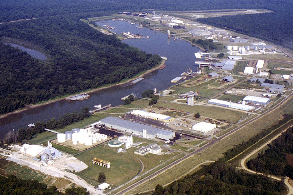
English: Aerial view of the Vicksburg Harbor, which is located on an arm of the Mississippi River at Vicksburg, Mississippi, USA. The harbor is located north of the main part of the city. View is to the west-northwest. |
|||
| Datum | ||||
| Izvor |
U.S. Army Corps of Engineers Digital Visual Library Image page Image description page Digital Visual Library home page |
|||
| Autor | Brad Emerson, U.S. Army Corps of Engineers | |||
| Dozvola (Ponovno korišćenje ove datoteke) |
|
|||
| Lokacija | Vicksburg, Mississippi, USA |
| Положај камере | | Ова и друге слике снимљене у близини на: OpenStreetMap |
|---|
Istorija datoteke
Kliknite na datum/vreme da biste videli tadašnju verziju datoteke.
| Datum/vreme | Minijatura | Dimenzije | Korisnik | Komentar | |
|---|---|---|---|---|---|
| trenutna | 02:52, 6. april 2007. | | 1.500 × 1.000 (515 kB) | DanMS | {{Information | Description = {{en|Aerial view of the Vicksburg Harbor, which is located on an arm of the Mississippi River at Vicksburg, Mississippi, USA. The harbor is located north of the main part of the city. View is to the west-northwest.}} | |
Upotreba datoteke
Sledeća stranica koristi ovu datoteku:
Globalna upotreba datoteke
Drugi vikiji koji koriste ovu datoteku:
- Upotreba na fa.wikipedia.org
- Upotreba na ja.wikipedia.org
- Upotreba na la.wikipedia.org
- Upotreba na ru.wikipedia.org
- Upotreba na sh.wikipedia.org
- Upotreba na uz.wikipedia.org
- Upotreba na vi.wikipedia.org
- Upotreba na zh.wikipedia.org