Датотека:Vicksburg harbor aerial view.jpg

Величина овог приказа: 800 × 533 пиксела. 4 друге резолуције: 320 × 213 пиксела | 640 × 427 пиксела | 1.024 × 683 пиксела | 1.500 × 1.000 пиксела.
Оригинална датотека (1.500 × 1.000 пиксела, величина датотеке: 515 kB, MIME тип: image/jpeg)
| Ово је датотека са Викимедијине оставе. Информације са њене странице са описом приказане су испод. Викимедијина остава је складиште слободно лиценциралних мултимедијалних датотека. И Ви можете да помогнете. |
| Опис |
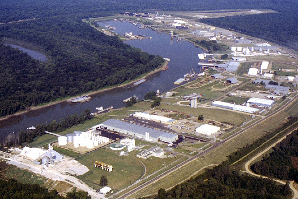
English: Aerial view of the Vicksburg Harbor, which is located on an arm of the Mississippi River at Vicksburg, Mississippi, USA. The harbor is located north of the main part of the city. View is to the west-northwest. |
|||
| Датум | ||||
| Извор |
U.S. Army Corps of Engineers Digital Visual Library Image page Image description page Digital Visual Library home page |
|||
| Аутор | Brad Emerson, U.S. Army Corps of Engineers | |||
| Дозвола (Поновно коришћење ове датотеке) |
|
|||
| Локација | Vicksburg, Mississippi, USA |
| Положај камере | | Ова и друге слике снимљене у близини на: OpenStreetMap |
|---|
Историја датотеке
Кликните на датум/време да бисте видели тадашњу верзију датотеке.
| Датум/време | Минијатура | Димензије | Корисник | Коментар | |
|---|---|---|---|---|---|
| тренутна | 02:52, 6. април 2007. | | 1.500 × 1.000 (515 kB) | DanMS | {{Information | Description = {{en|Aerial view of the Vicksburg Harbor, which is located on an arm of the Mississippi River at Vicksburg, Mississippi, USA. The harbor is located north of the main part of the city. View is to the west-northwest.}} | |
Употреба датотеке
Следећа страница користи ову датотеку:
Глобална употреба датотеке
Други викији који користе ову датотеку:
- Употреба на fa.wikipedia.org
- Употреба на ja.wikipedia.org
- Употреба на la.wikipedia.org
- Употреба на ru.wikipedia.org
- Употреба на sh.wikipedia.org
- Употреба на uz.wikipedia.org
- Употреба на vi.wikipedia.org
- Употреба на zh.wikipedia.org