Датотека:La2-demis-ruegen.png

Veličina ovog prikaza: 627 × 599 piksela. 3 druge rezolucije: 251 × 240 piksela | 502 × 480 piksela | 723 × 691 piksela.
Originalna datoteka (723 × 691 piksela, veličina datoteke: 45 kB, MIME tip: image/png)
| Ovo je datoteka sa Vikimedijine ostave. Informacije sa njene stranice sa opisom prikazane su ispod. Vikimedijina ostava je skladište slobodno licenciralnih multimedijalnih datoteka. I Vi možete da pomognete. |
Opis izmene
| Opis |
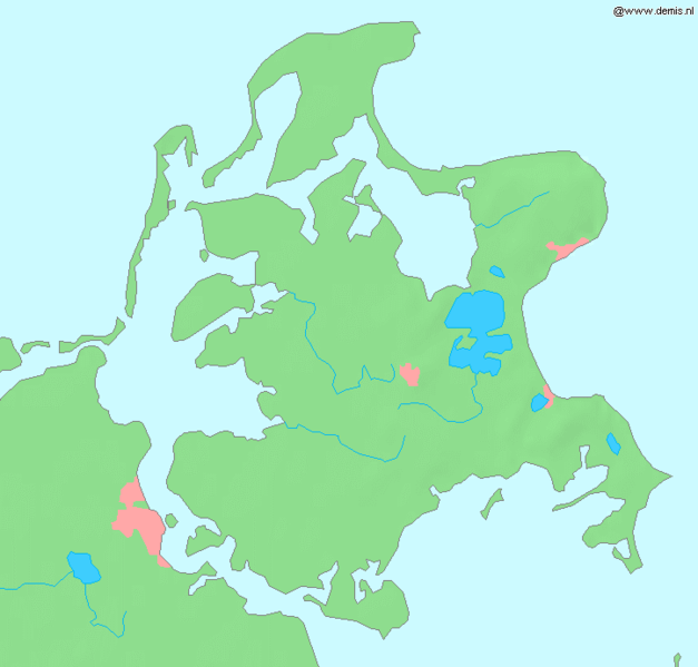
English: Island Rügen in the Baltic Sea.
Bounding box West 12.9°, South 54.2°, East 13.8°, North 54.7°. Center at 54°27′00″N 13°21′00″E / 54.45000°N 13.35000°E. |
| Datum | |
| Izvor | Demis map server |
| Autor | Demis map server |
This image is in the public domain because it came from the site https://www.demis.nl/products/web-map-server/examples/ and was released by the copyright holder. Permission is granted to copy, distribute and/or modify this map since it is based on free of copyright images from: www.demis.nl. See also approval email on de.wp and its clarification.
|
| This work has been released into the public domain by its copyright holder, www.demis.nl. This applies worldwide. U nekim zemljama, ovo nije zakonski moguće; u tom slučaju: www.demis.nl tvorac ovog dela dozvoljava svakome da koristi ovo delo za bilo koju namenu, bez bilo kakvih uslova, osim uslova koje nameće zakon.
|
Istorija datoteke
Kliknite na datum/vreme da biste videli tadašnju verziju datoteke.
| Datum/vreme | Minijatura | Dimenzije | Korisnik | Komentar | |
|---|---|---|---|---|---|
| trenutna | 14:21, 30. avgust 2005. | | 723 × 691 (45 kB) | LA2 | Island Rügen in the Baltic Sea. {{demis-pd}} category:Maps of Germany |
Upotreba datoteke
Sledeća stranica koristi ovu datoteku:
Globalna upotreba datoteke
Drugi vikiji koji koriste ovu datoteku:
- Upotreba na az.wikipedia.org
- Upotreba na be-tarask.wikipedia.org
- Upotreba na be.wikipedia.org
- Upotreba na de.wikipedia.org
- Jasmund
- Bug (Rügen)
- Zudar
- Schaabe
- Mönchgut
- Benutzer:Martin Riesel
- Wittow
- Benutzer:Vorlage/Rüganer
- Schmale Heide
- Benutzer:Exil-rüganer
- Rügen
- Benutzer:Vorlage/Herkunftsvorlagen/Mecklenburg-Vorpommern
- Vorlage:Navigationsleiste Inselteile Rügen
- Muttland
- Wikipedia:Kartenwerkstatt/Archiv/2007-11
- Benutzer:Eligius Gründelschilf
- Benutzer:Eligius Gründelschilf/Test 1
- Benutzer:Peedro
- Benutzer:Jensenopulus
- Benutzer:Prora'10
- Kategorie:Benutzer:aus Rügen
- Benutzer:Phillipm0703
- Upotreba na dsb.wikipedia.org
- Upotreba na en.wikipedia.org
- Upotreba na hsb.wikipedia.org
- Upotreba na mk.wikipedia.org
- Upotreba na ru.wikipedia.org
- Upotreba na sv.wikinews.org
- Upotreba na uk.wikipedia.org