Датотека:View of the Loxley Valley with Stannington in the background and Sheffield in the rear. - geograph.org.uk - 714045.jpg
Veća rezolucija nije dostupna.
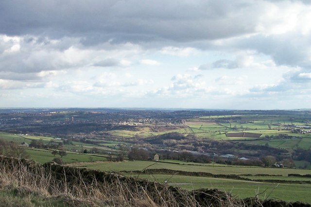
View_of_the_Loxley_Valley_with_Stannington_in_the_background_and_Sheffield_in_the_rear._-_geograph.org.uk_-_714045.jpg (640 × 426 piksela, veličina datoteke: 59 kB, MIME tip: image/jpeg)
| Ovo je datoteka sa Vikimedijine ostave. Informacije sa njene stranice sa opisom prikazane su ispod. Vikimedijina ostava je skladište slobodno licenciralnih multimedijalnih datoteka. I Vi možete da pomognete. |
Opis izmene
| Opis |
English: View of the Loxley Valley with Stannington in the background and Sheffield in the rear. View taken from Kirk Edge Road close to the Convent. |
| Datum | |
| Izvor | From geograph.org.uk |
| Autor | Terry Robinson |
| Autorstvo (required by the license) | Terry Robinson / View of the Loxley Valley with Stannington in the background and Sheffield in the rear. / |
| Положај камере | | Ова и друге слике снимљене у близини на: OpenStreetMap |
|---|
_heading:157.00&language=sr-el)
| Положај објекта | | Ова и друге слике снимљене у близини на: OpenStreetMap |
|---|
_heading:157.00&language=sr-el)
Licenciranje

|
This image was taken from the Geograph project collection. See this photograph's page on the Geograph website for the photographer's contact details. The copyright on this image is owned by Terry Robinson and is licensed for reuse under the Creative Commons Attribution-ShareAlike 2.0 license.
|
Ova datoteka je dostupna pod licencom Creative Commons Autorstvo-Deliti pod istim uslovima 2.0 Generička licenca.
Autorstvo: Terry Robinson
- Dozvoljeno je:
- da delite – da umnožavate, raspodeljujete i prenosite delo
- da prerađujete – da preradite delo
- Pod sledećim uslovima:
- autorstvo – Morate da date odgovarajuće zasluge, obezbedite vezu ka licenci i naznačite da li su izmene napravljene. Možete to uraditi na bilo koji razuman manir, ali ne na način koji predlaže da licencator odobrava vas ili vaše korišćenje.
- deliti pod istim uslovima – Ako izmenite, preobrazite ili dogradite ovaj materijal, morate podeliti svoje doprinose pod istom ili kompatibilnom licencom kao original.
Istorija datoteke
Kliknite na datum/vreme da biste videli tadašnju verziju datoteke.
| Datum/vreme | Minijatura | Dimenzije | Korisnik | Komentar | |
|---|---|---|---|---|---|
| trenutna | 04:57, 19. februar 2011. | | 640 × 426 (59 kB) | GeographBot | == {{int:filedesc}} == {{Information |description={{en|1=View of the Loxley Valley with Stannington in the background and Sheffield in the rear. View taken from Kirk Edge Road close to the Convent.}} |date=2008-03-04 |source=From [http://www.geograph.org. |
Upotreba datoteke
Sledeća stranica koristi ovu datoteku:
Globalna upotreba datoteke
Drugi vikiji koji koriste ovu datoteku:
- Upotreba na en.wikipedia.org