Датотека:WW Samara Bend - Geocover 2000.png
Veličina ovog prikaza: 800 × 585 piksela. 3 druge rezolucije: 320 × 234 piksela | 640 × 468 piksela | 926 × 677 piksela.
Originalna datoteka (926 × 677 piksela, veličina datoteke: 1,66 MB, MIME tip: image/png)
| Ovo je datoteka sa Vikimedijine ostave. Informacije sa njene stranice sa opisom prikazane su ispod. Vikimedijina ostava je skladište slobodno licenciralnih multimedijalnih datoteka. I Vi možete da pomognete. |
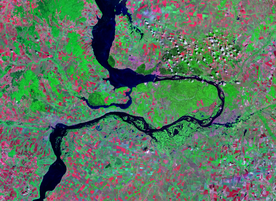
| Opis | Satellite image of the Samara Bend in the Volga River | |||
| Datum | Geocover 2000 dataset | |||
| Izvor | Nasa World Wind | |||
| Autor | Nasa | |||
| Dozvola (Ponovno korišćenje ove datoteke) |
|

Istorija datoteke
Kliknite na datum/vreme da biste videli tadašnju verziju datoteke.
| Datum/vreme | Minijatura | Dimenzije | Korisnik | Komentar | |
|---|---|---|---|---|---|
| trenutna | 15:28, 14. avgust 2007. | | 926 × 677 (1,66 MB) | Hardscarf | |
| 15:20, 14. avgust 2007. |  | 1.024 × 677 (1,48 MB) | Hardscarf | {{Information |Description=Satellite image of the Samara Bend in the Volga River |Source=Nasa World Wind |Date=Geocover 2000 dataset |Author=Nasa |Permission={{PD-World Wind}} |other_versions= }} Category:Samara Oblast Category:Volga River |
Upotreba datoteke
Sledeća stranica koristi ovu datoteku:
Globalna upotreba datoteke
Drugi vikiji koji koriste ovu datoteku:
- Upotreba na be-tarask.wikipedia.org
- Upotreba na be.wikipedia.org
- Upotreba na cv.wikipedia.org
- Upotreba na en.wikipedia.org
- Upotreba na es.wikipedia.org
- Upotreba na fr.wikipedia.org
- Upotreba na hu.wikipedia.org
- Upotreba na ig.wikipedia.org
- Upotreba na ja.wikipedia.org
- Upotreba na la.wikipedia.org
- Upotreba na mk.wikipedia.org
- Upotreba na nl.wikipedia.org
- Upotreba na pl.wikipedia.org
- Upotreba na pt.wikipedia.org
- Upotreba na ru.wikipedia.org
- Upotreba na uk.wikipedia.org
- Upotreba na www.wikidata.org